Genesys International Corporation Ltd has introduced a Ground Penetrating Radar (GPR) system from IDS GeoRadar for mapping underground utilities in India.
The system uses Equalised Scrambling Technology (EST) along with antenna technology to capture subsurface data.
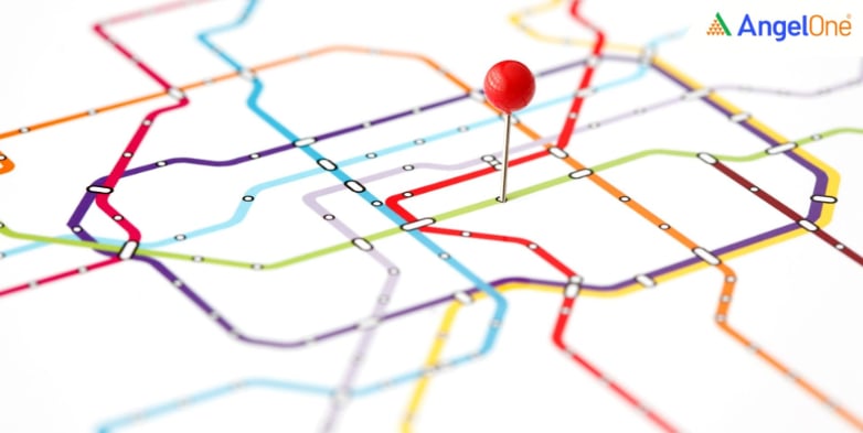
As per the filing, the equipment is to detect infrastructure buried beneath the ground. This includes water pipelines, sewer lines, telecom cables, electricity lines, and other underground networks used in cities and infrastructure projects.
The GPR system sends radar signals into the ground and records the reflections from objects below the surface. The collected information is then processed to generate 3-dimensional images of subsurface structures.
These images provide details on the position and depth of buried utilities. In many urban areas, records of underground infrastructure are incomplete or outdated, which can make excavation work difficult to manage.
Genesys said the radar system will be combined with its digital mapping and geospatial platforms. Data from the radar scans will be integrated with mapping tools used for creating 3D city models and spatial databases.
This approach allows underground infrastructure to be represented in digital form alongside surface features. The data can be accessed by engineering teams, infrastructure planners, and urban authorities working on development projects.
Infrastructure works such as metro rail lines, highways, and water network upgrades often involve digging in areas where multiple utility networks already exist. In the absence of clear records, there is a risk of damaging pipelines or cables during excavation.
Ground penetrating radar systems are used to identify such utilities before construction begins.
As of March 6, 2026, 12:38 pm, Genesys International Corporation share price was trading at ₹282.75, a 4.07% increase from the previous closing price.
Read More: Zaggle Prepaid Ocean Services Share Price Surges Over 3%; Signs 3-Year Agreement with Blue Star Limited!
Urban infrastructure projects increasingly require reliable information about what lies beneath the ground. Subsurface mapping technologies are used to collect data on underground utilities and support planning for construction and maintenance activities across cities.
Disclaimer: This blog has been written exclusively for educational purposes. The securities mentioned are only examples and not recommendations. This does not constitute a personal recommendation/investment advice. It does not aim to influence any individual or entity to make investment decisions. Recipients should conduct their own research and assessments to form an independent opinion about investment decisions.
Investments in the securities market are subject to market risks, read all the related documents carefully before investing.
Published on: Mar 6, 2026, 12:47 PM IST

Team Angel One
We're Live on WhatsApp! Join our channel for market insights & updates

Get the link to download the App